Winds will pick up today and temperatures will begin to cool as the storm approaches.
The snow should start falling by midnight with the heaviest snow Thursday morning as the cold front pushes through.
Snow showers will continue behind the front into Thursday night.
Models have be showing more moisture associated with the storm over the past few days.
They now have up to 1 inch of liquid along the Sierra crest which is over Alpine.
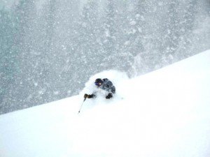
This is going to make for mid-winter style powder here in April.
We should only pick up some light snow showers at best and slightly cooler temperatures on Monday.
