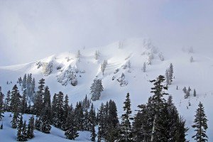
We should have clouds and sun today with some light snow showers from mid-mountain and up.
Snow levels will rise back up to around mid-mountain this morning.
Not expecting much accumulation just a dusting possible on the upper half of the mountain.
Models have anywhere from .25 inches of liquid up to 1 inch.
Worst case we should pick up several inches on the entire mountain.
It also looks like we will have retrogression of the ridge this time out into the Central Pacific.
That will allow the cold air to come further South next week as well as the precip.
The temperatures will be below average and the snow levels below lake level starting Tuesday.
