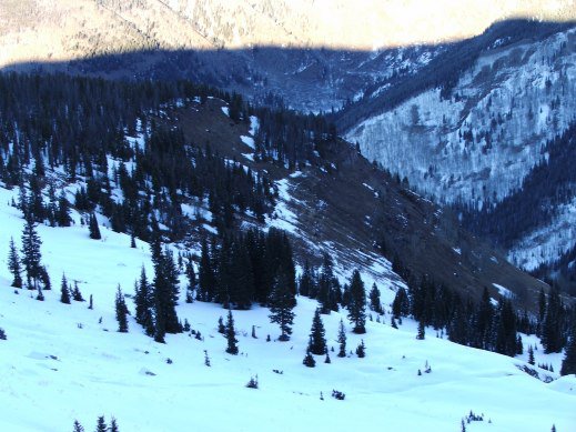
Guess the snow is only hanging in the shade and baking in the sun.
and now we have a pretty weak snow pack.
There I harnessed up and tied in with the glacier line around a stout tree.
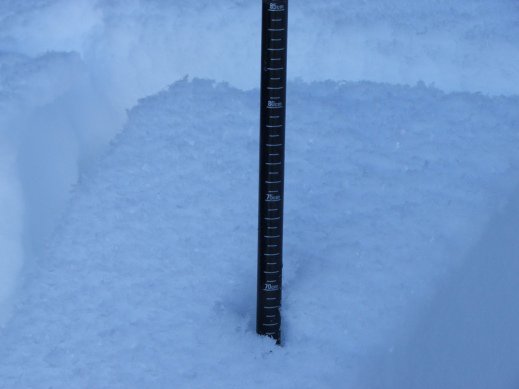
Got in, dug the ?pit?
and started to gather some data.
There are basically three layers to this shallow 70cm ?snow pack?.
The bottom 30cm is basically larger facets slightly bonded resting on depth hoar.
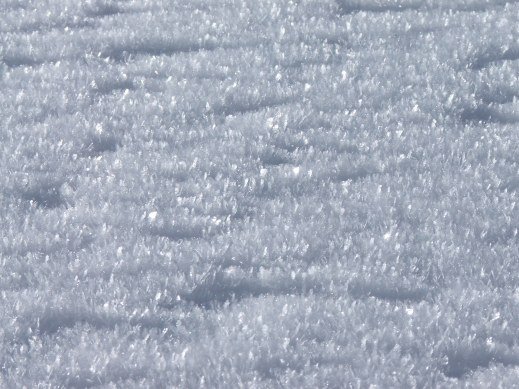
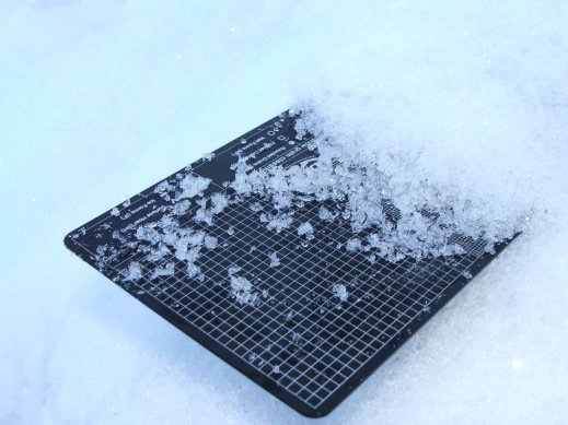
The exposed snow is already riddled with surface hoar.
An isolated column test resulted in the top 58-70cm layer popping after four fingertip shots at the wrist.
Not too surprising, while the break was not a completely shear.
Four shots from the elbow broke off the 30-58cm range, again a not such clean break.
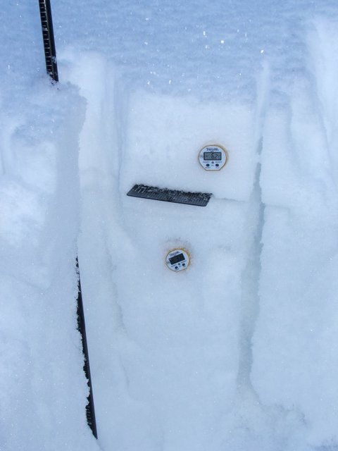
Chose to use 20cm increments to measure within the noticeable layers and came up with 0 deg.
Celsius at 10cm, -1.7 at 30cm, -3.4 at 50cm and -6 at 70cm.
The numbers below 30cm represent a weak temp gradient (<10 deg.
C/m), which strengthens at a rate that increases with the temp and depends on snow grain size.
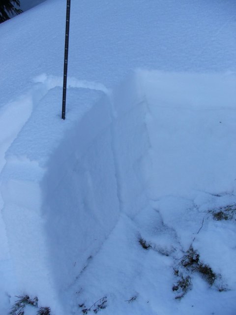
The rest of the snow pack has a strong temp gradient (<10 deg.
C/m), and results in a loss of strength as facet formation occurs.
Math aside, we have plenty of
weak snow to make things a bit sketchy.
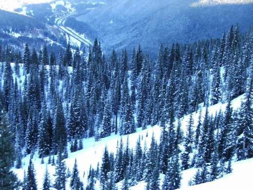
The ride was sugary and mellow.
After the falls, the traverse left into the woods and the scarcely packed ski trail is pretty sketchy.
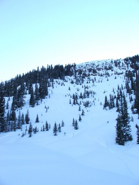
Not bad for my first ?benchmark to water tower?
trip of the year.
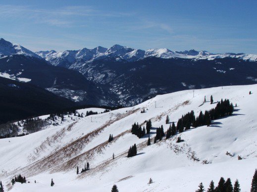
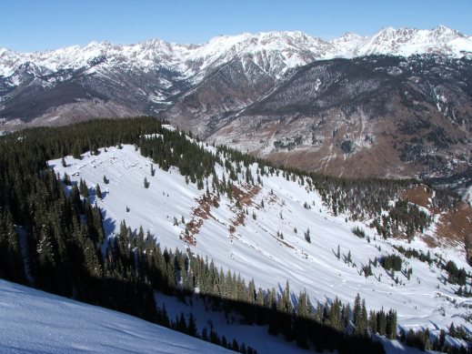
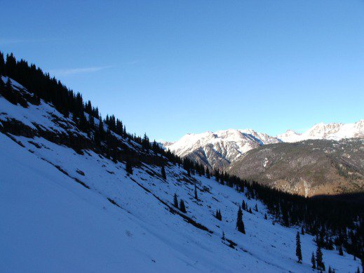
Grand from afar, far from grand.
Glad I was able to take the afternoon for some recon and gauge conditions until the next storm.
Until then, keep it safe and pray for more snow!