It will snow heavily tonight and all day Wednesday with snowfall rates that could exceed 3 inches per hour.
Snow showers will continue Wednesday night with high snow to water ratios making for super light powder.
By the Thursday morning snow report I am expecting storm totals of around 4-5 feet on top.
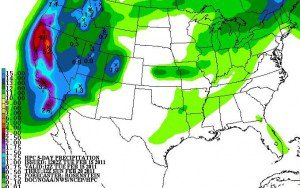
Let’s see how this storm compares.
Snow showers will continue off and on through Thursday night adding another 6-12 inches of light powder.
Then another low pressure moves in bringing steady accumulating snow Friday into Saturday.
That storm could bring another 6-12+ inches.
By Sunday I am expecting the 6 day totals to be in the 5-7 foot range on the mountain.
As of right now seems like the active pattern will continue into the beginning of March.
Stay tuned for updates on the storm……….
