That should drop around 2 feet of additional snow on top of what we get Monday-Tuesday.
Snow showers will continue Wednesday night and Thursday with snow ratios of 20:1.
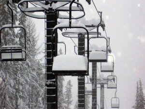
I’m expecting storm totals of around 3 feet by the Friday morning snow report.
The GFS weather model is the outlier showing things clearing out for President’s weekend.
The other models show another wave of snow for Friday and Saturday.
Hopefully the models can come into some sort of agreement with the track of the storm today or tomorrow.
Models are still all over the place for week 2.
This would continue to drive cold air into the area and bring light-moderate sized storms down the coast.
Stay tuned as we fine tune the snow amounts and details for this week.
